December 12, 2016

Related Blogs:
Sign up for blog updates
Get innovation delivered to your inbox. Sign up for our blog and stay on top of the very latest from Semtech (formerly Sierra Wireless).
December 12, 2016
From connected cars to intelligent transportation systems, the “Internet of Moving Things” is generating a rising wave of transportation data. There are more than 6.5 billion people expected to be living in cities or urban areas by 2050. We see the growing pains as cities are expanding quickly and traditional transportation systems struggle to meet the needs of the connected consumer.
We touched on our vision of the smart city in a previous post and, as these initiatives continue to build momentum in a growing number of city and national governments, one of the critical areas of focus and transformation is transportation.
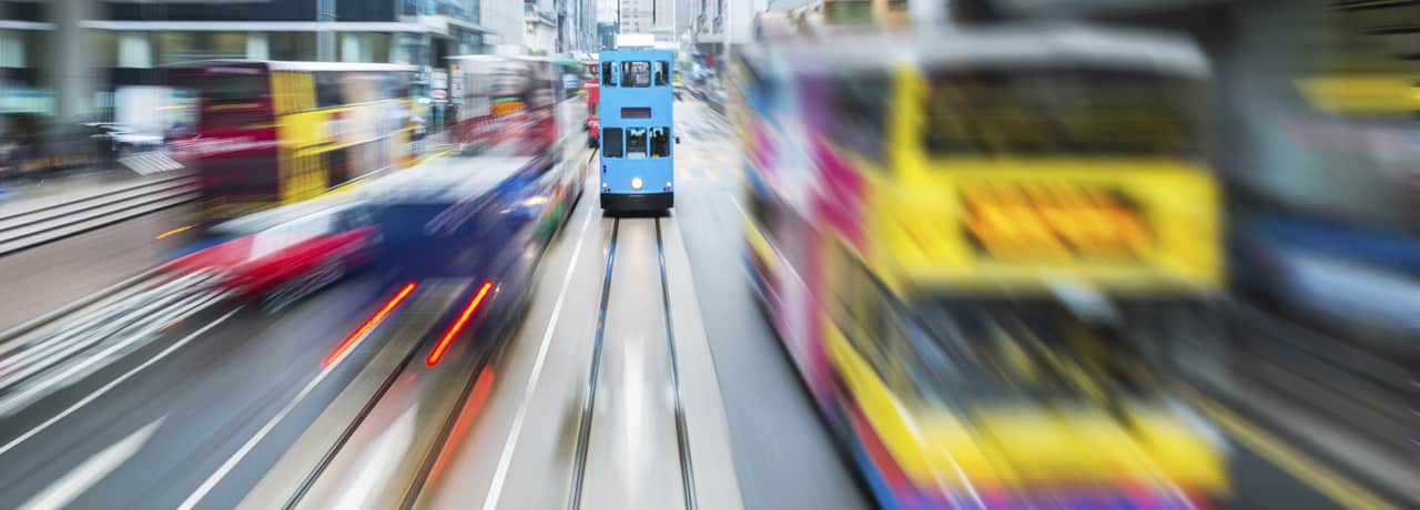
Intermodal transport, or mixed-mode commuting, is gaining popularity and proving to be an easier and more efficient way to navigate urban environments. It has an added attraction of helping reduce congestion, road traffic accidents, energy consumption, greenhouse-gas emissions, and dependence on fossil fuel. Mixing public transport (bus, metro, light rail), pooled transport, shared transport (car, bicycle) and personal transport provides an attractive alternative to the personal car. At the same time, public transit authorities are now making some of their data available, which enables developers publishing new “smart mobility” applications to give true indications of the most accurate transportation modes to go from point A to point B, depending on consumer time and preferences.
Simplicity is key
Intermodal transport really only works when it’s easy. If intermodal transport is really going to compete with private cars, it has to be at least as convenient and straightforward as driving. That means it has to be truly simple to plan an entire journey, from start to finish, whether it’s on foot, by bike, or using some motorized form of public or shared transport. Additionally, the entire trip needs to be completed as quickly as possible. Doubling or even tripling commuting time, when compared to private cars or other traditional forms of transit, is not acceptable.
Juggling resources
Working as a part of the AU-DACE consortium – a consortium supported by the French government tasked with developing a complete, sustainable mobility systems – Sierra Wireless has been able to help define the telematics requirements for each mode of transport used by Zaleo, an innovative mobile app developed by AU-DACE. The app gathers and transmits data on wait times and available seats for public transport, reports on the whereabouts and occupancy of pooled and shared vehicles, and supplies other essential details.
As a gateway to personal mobility, Zaleo shows you the direct route or the best combination of routes, based on data from public transport, various car sharing and carpooling services, bike routes, and pedestrian walkways. It then adds information about the suggested routes, detailing the savings, in terms of money, time, and carbon emissions, for each option. A complementary insurance system, adapted to the mobility of individuals, provides support for journeys that use rental services and other modes of transport that benefit from such coverage.
Because Zaleo lets you quickly and easily find the routes and transport modes that work best for you, it provides the ease of use, flexibility, and multimodality needed to make intermodal transport a viable alternative to driving a private, single-occupancy car.
The power of real-time information
To make this system work, we needed to build a cloud platform that is fed all the necessary information for every mode of transport. Each vehicle involved in the scheme needs to be equipped with telematics technology that provides, among other things, real-time location data.
The Zaleo architecture draws on our many years of telematics experience with leading automotive manufacturers and car-rental companies and, so it uses the same secure, reliable techniques as vehicle-safety systems, which send coordinates and other details to first responders in case of an accident, as well as complex fleet-management systems, which enable organizations to optimize the Total Cost of Ownership of their vehicles.
Now, as municipal and regional governments begin to focus on ways of making transport more environmentally friendly, more efficient, safer and more secure, an increasing demand for apps and services that support intermodal transport will only continue to progress.
Get innovation delivered to your inbox. Sign up for our blog and stay on top of the very latest from Semtech (formerly Sierra Wireless).